Field Data Portal
You can use this web portal to discover and download field and airborne data maintained by TERN-Landscapes and the Joint Remote Sensing Research Program. Use the tools on the left to perform the following actions:
-
Select a Dataset
Select your dataset and it will appear on the map. To avoid confusion, only one dataset at a time may be queried.
-
Explore the Data
Preview available data by clicking on the data icons on the map. Details will appear in this panel.
-
Define a Region and Dates (Optional)
If desired, restrict your data further by defining a region of interest and/or selecting a date range.
-
Download Data
Happy with your selection? Select your format and download your subset.

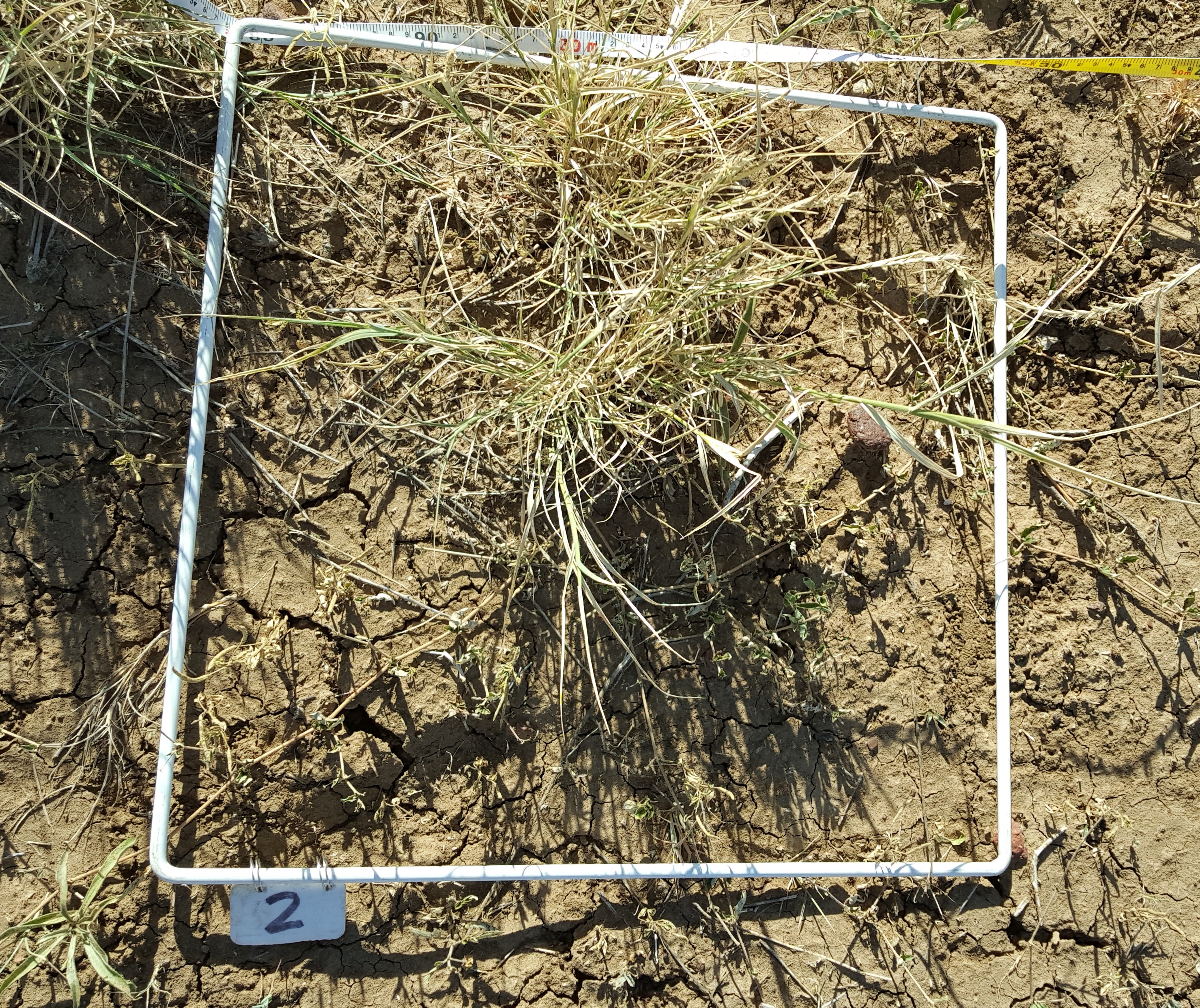
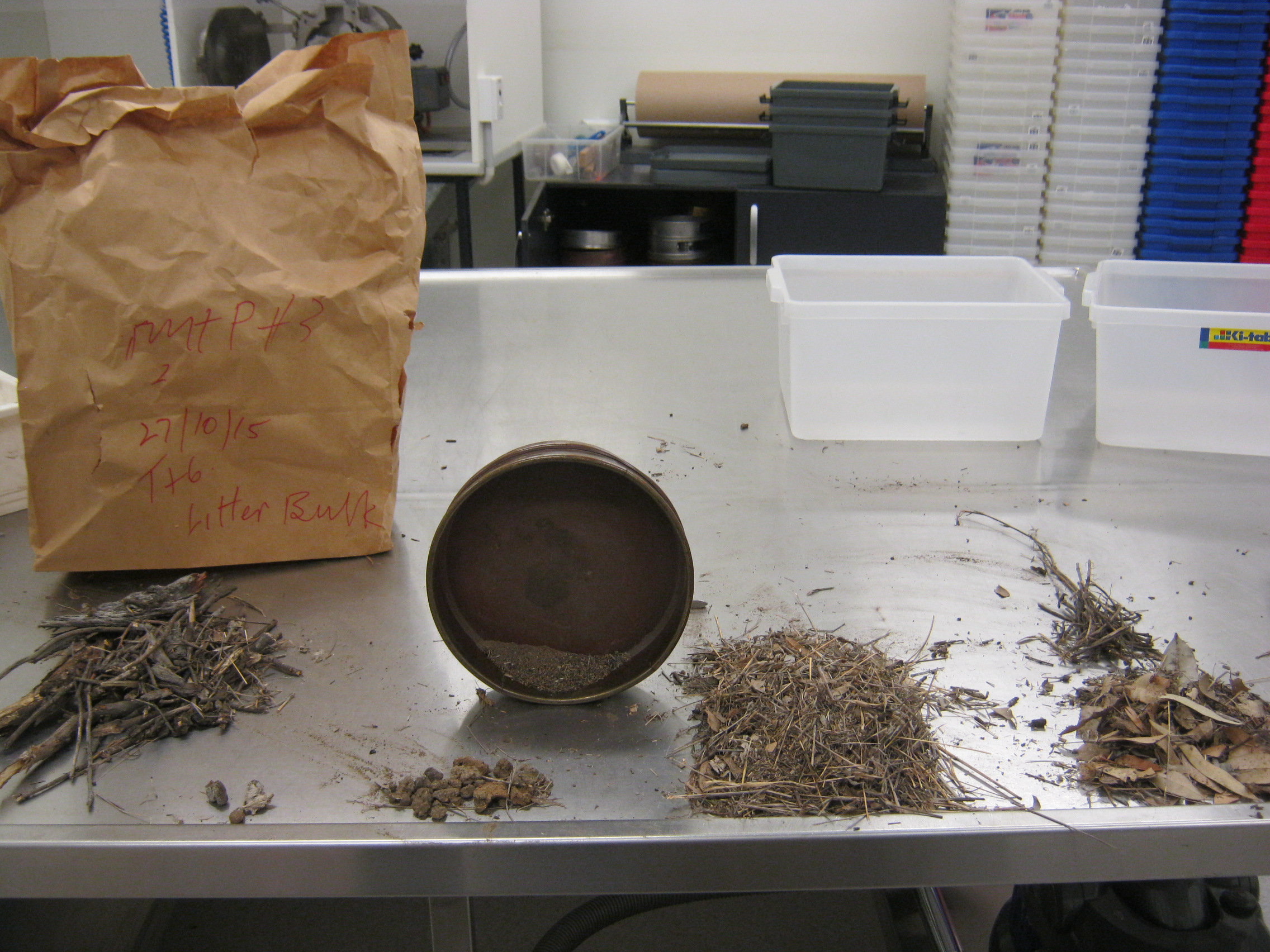
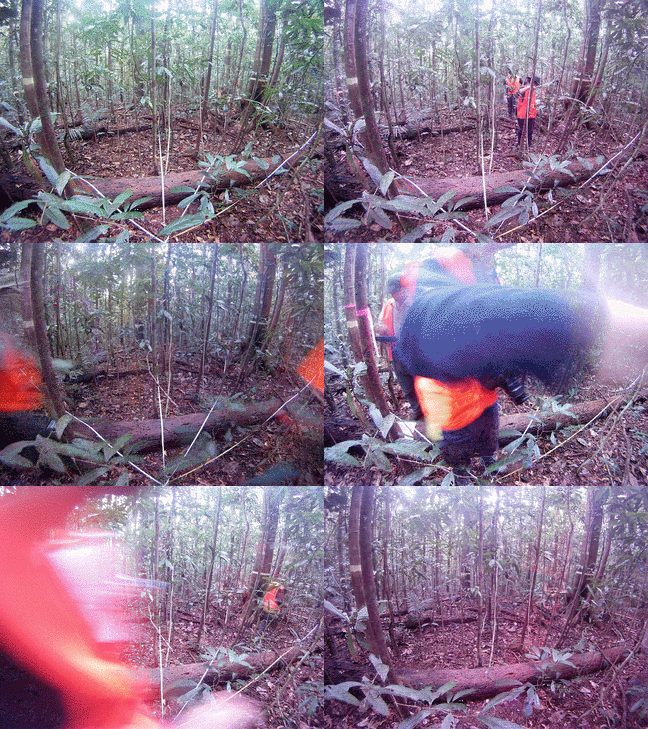 Dataset consists of a shapefile/csv of summary data for site description, star transect point intercept measurements, basal area, field photography and fractional cal/val data.
Visit TERN for