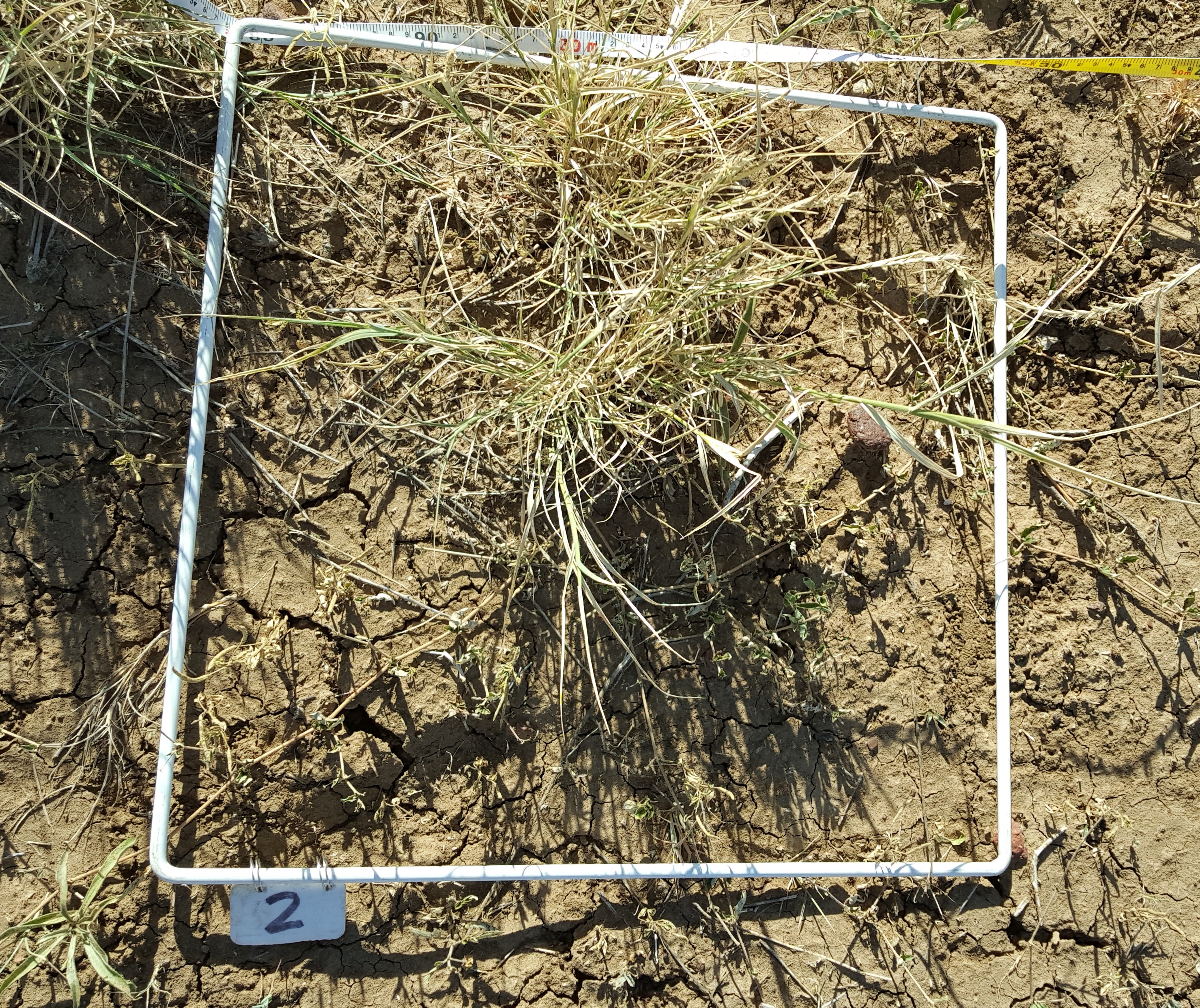
SLATS Star Transect Summary
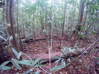 Dataset consists of a shapefile/csv of summary data for site description, star transect point intercept measurements, basal area, field photography and fractional cal/val data.
Visit TERN for Product Metadata and
Field Data Collection Protocol information.
Dataset consists of a shapefile/csv of summary data for site description, star transect point intercept measurements, basal area, field photography and fractional cal/val data.
Visit TERN for Product Metadata and
Field Data Collection Protocol information.
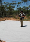
Calibration Targets
Calibration data collected at various calibration/validation sites using the ASD protocol avaliable on the TERN field protocol page.
Datasets consist of instrument files and a supporting shapefile/KMZ file of location details.
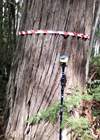
Tree Structure
Dataset consists of a shapefile/csv of individual tree structure data and photography collected using the
Tree Structure Protocol at various calibration/validation AusCover super sites. Metadata for this product can be found here.
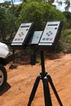
Microtops Ozone
Microtops Ozone data has been collected at various AusCover calibration/validation sites during overflight collection of airborne datasets using the Sunphotometer Protocol.
Datasets consist of a shapefile or csv of measurements and associated hemispheric imagery of sky conditions (if available). The Microtops Ozone Metadata is available on TERN.
Microtops Aerosol Optical Depth
Microtops Ozone data has been collected at various AusCover calibration/validation sites during overflight collection of airborne datasets using the Sunphotometer Protocol.
Datasets consist of a shapefile or csv of measurements and associated hemispheric imagery of sky conditions (if available). The Microtops AOD Metadata is available on TERN.
Leaf Area Index
LAI data collected at various calibration/validation sites using the AusCover Protocol.
Datasets consist of instrument files and a supporting shapefile/KMZ file of location details.
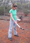
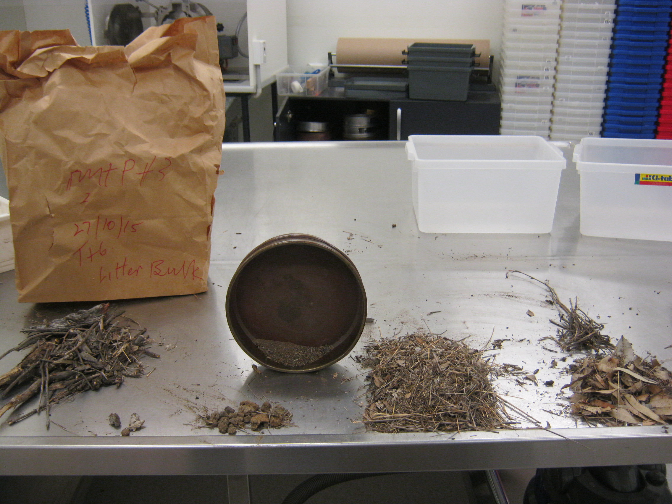
Pasture Biomass
A summary of Pasture Biomass data collected at various SLATS star transect sites using the
Pasture Biomass Field Data Collection Protocol.
Datasets consist of a shapefile/csv file of site details and supporting photography.
Airborne Hyperspectral and LiDAR
Airborne hyperspectral and lidar data collected at various calibration/validation sites.
Datasets consist of instrument files and a supporting shapefile/KMZ file of location footprints.
Airbone Hyperspectral and LiDAR Metadata
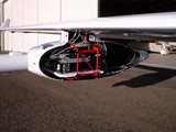

Airbone Hyperspectral and LiDAR Metadata
Field Data Portal
You can use this web portal to discover and download field and airborne data maintained by TERN-Landscapes and the Joint Remote Sensing Research Program. Use the tools on the left to perform the following actions:
-
Select a Dataset
Select your dataset and it will appear on the map. To avoid confusion, only one dataset at a time may be queried.
-
Explore the Data
Preview available data by clicking on the data icons on the map. Details will appear in this panel.
-
Define a Region and Dates (Optional)
If desired, restrict your data further by defining a region of interest and/or selecting a date range.
-
Download Data
Happy with your selection? Select your format and download your subset.